Decission Support regional scale
Data
Urban Atlas
Earth Explorer SRTM
Preprocessing
Coordinate System (CS)
XYZ Tiles in QGIS - base maps are available
DTM SRTM
Coordinate Reference System (CRS)
- Name EPSG:4326 - WGS 84
- Unit Geographic (uses latitude and longitude for coordinates)
- Method Lat/long (Geodetic alias)
- Celestial body Earth
- Accuracy ased on World Geodetic System 1984 ensemble (EPSG:6326), which has a limited accuracy of at best 2 meters
- Reference Dynamic (relies on a datum which is not plate-fixed)
Urban Atlas
Coordinate Reference System (CRS)
- Name EPSG:3035 ETRS89-extended / LAEA Europe
- Unit meters
- Method Lambert Azimuthal Equal Area
- Celestial body Earth
- Accuracy Based on European Terrestrial Reference System 1989 ensemble (EPSG:6258), which has a limited accuracy of at best 0.1 meters.
- Reference Static (relies on a datum which is plate-fixed)
PROJECT Coordinate system
QGIS Coordinate system transformation on-the-flight
CS EPSG codes
Coordinate system definition:
Feature Coordinate system
Advice: Avoid geographical coordinate system
Simplest method: (right klick on the feature in legend-Export-Save feature as):
- transformation
- sub-area selection - clip
details:
-
wektor:
- only coordinate transformation
-
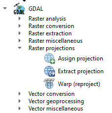
raster:
- 1. coordinate transformation
- 2. resampling (new raster creation of selected spatial extend and pixel size)
remarks:
-dispalying, stretching
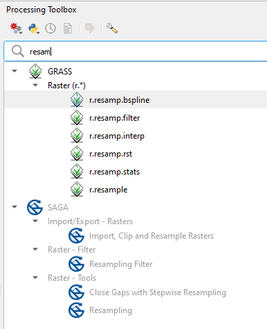
-"cosmetics" Processing-Tollbox-Gaussin filter
RASTER other functionality -check pixel size and modify the spatial extend Xmin, Xmax, Ymin, Ymax divisible by pixel size without rest
GIS as DSS location selection
sample criteria
-
distance from urban less then 500m
-
distance form water more then 200m
-
slope <3 degree (flat)
-
aspect 135-225 degree (south facing)
-
heigh above 500m
Vector-raster model
- UA attribute table analysis: which attribute are number, and which string
- UA - rmk (right mouse klick) - attribute table-edit-field calculator, create new field (integer) assign code2018 as a new field (int) code2018_int
- SQL: UA-urban, UA-water using code219int "code2018int">=11100 and "code2018int"<=14200
- SQL: UA-water, UA-water using code219int "code2018int">=11100 and "code2018int"<=14200 "code2018int" >=40000 and "code2018int" <=50000
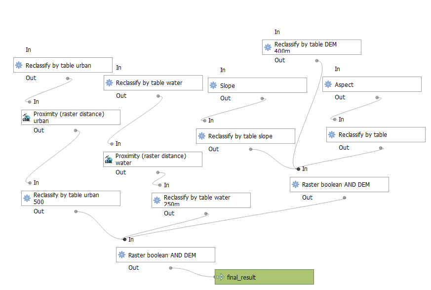
- Analysis using QGIS Graphical modeler
Graphical Modeller
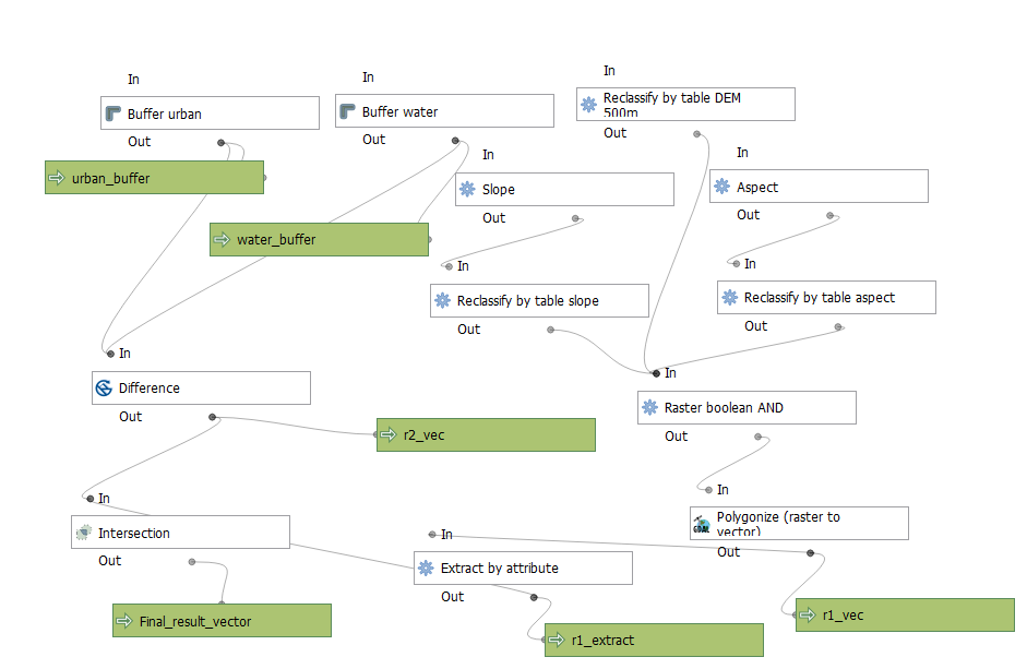
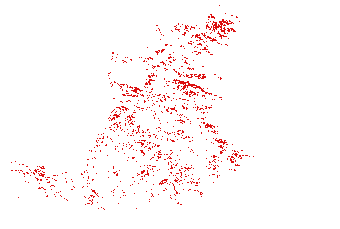
DEM>500m
Water buffer 250m
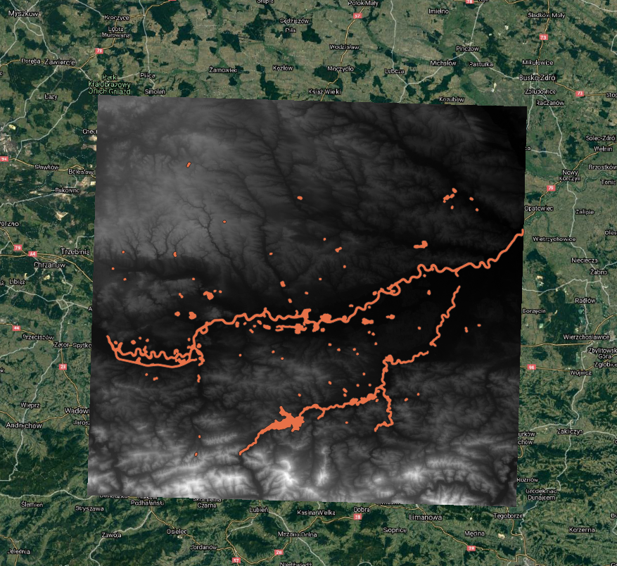
Urban buffer 500m
Difference Urban buffer 500m - Water buffer 250m
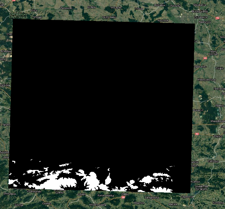
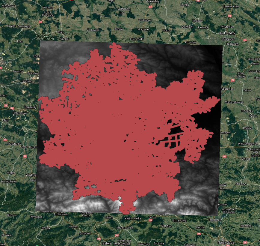
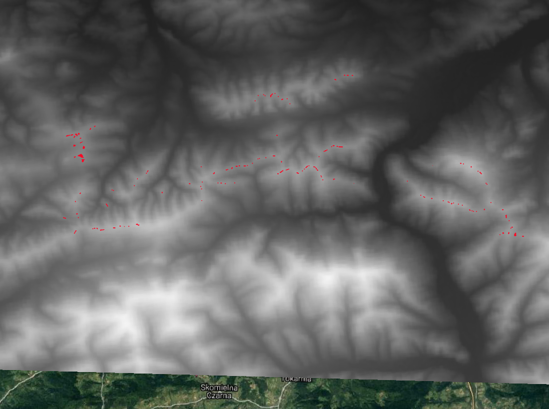
Final_result
Final_result zoom
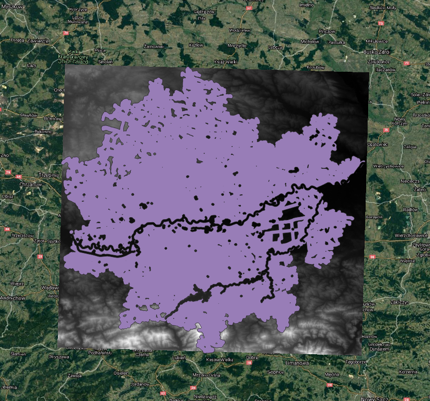
Variant no.2
DEM>400m
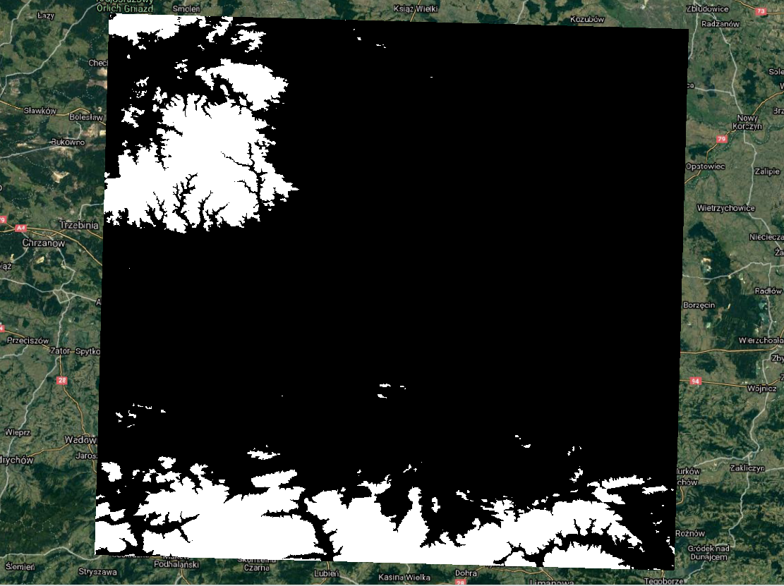
Final_result
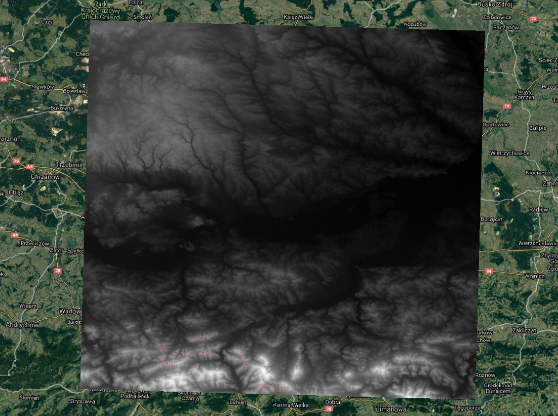
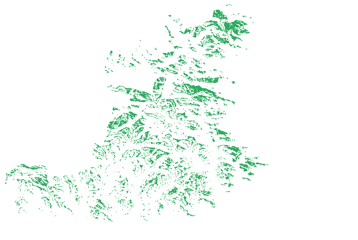
Raster model
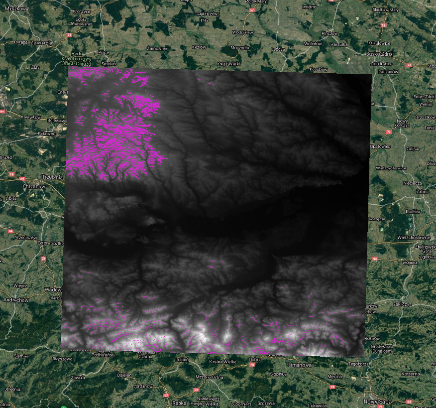
Final result raster
Final result raster vektor
Final result raster vector
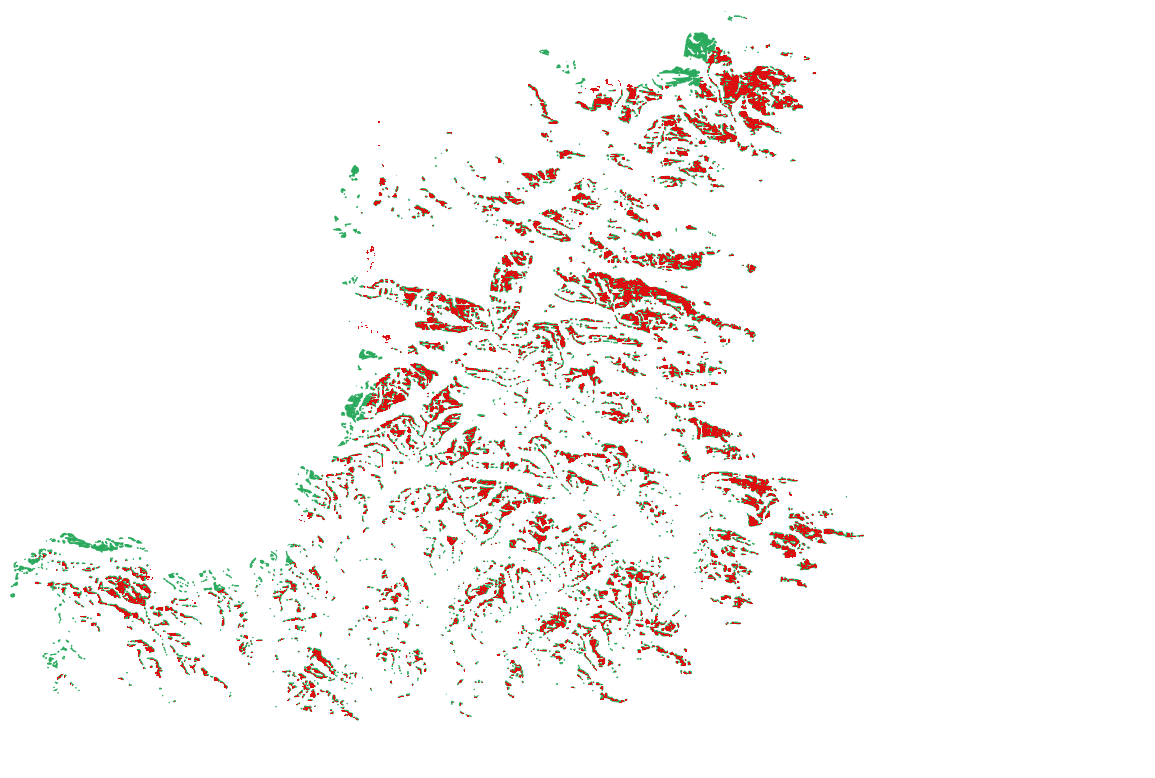
Why do we obtaine different results in raster and vector model ?
26.11.2021