Free satelite images: Landsat, Sentinel browsers:
The Copernicus Open Access Hub (previously known as Sentinels Scientific Data Hub) provides complete, free and open access to Sentinel-1, Sentinel-2, Sentinel-3 and Sentinel-5P user products
Landsat, SRTM and much more data provider:
XYZ Tiles in QGIS - base maps are available
OSM CS geographical
DTM SRTM CS geographical
NO projection, only coordinate on the elipsoid! Problem!!!
QGIS is possible to change CS on-the-flight
We would like to avoid geographicala CS. In QGIS you can transform the data coordinates during export !!!!
right klick on the feature in legend-Export-Save feature as
you can:
if you clip raster you can change spatial resolution (pixel size), but take care QGIS cheats, check in feature properties and correct coordinates of map extent
Changing CS:
conditions:
How we realize it?
Attribute querry:
Show me the area below 205m
Show me the area between 250m and 300m
old value1 old value2 new value
0 250 0
250 300 1
300 10000 0
Slope and aspect calculation
Horn, B.K.P., 1981. Hill shading and the reflectance map. Proceedings of the IEEE 69:14-47
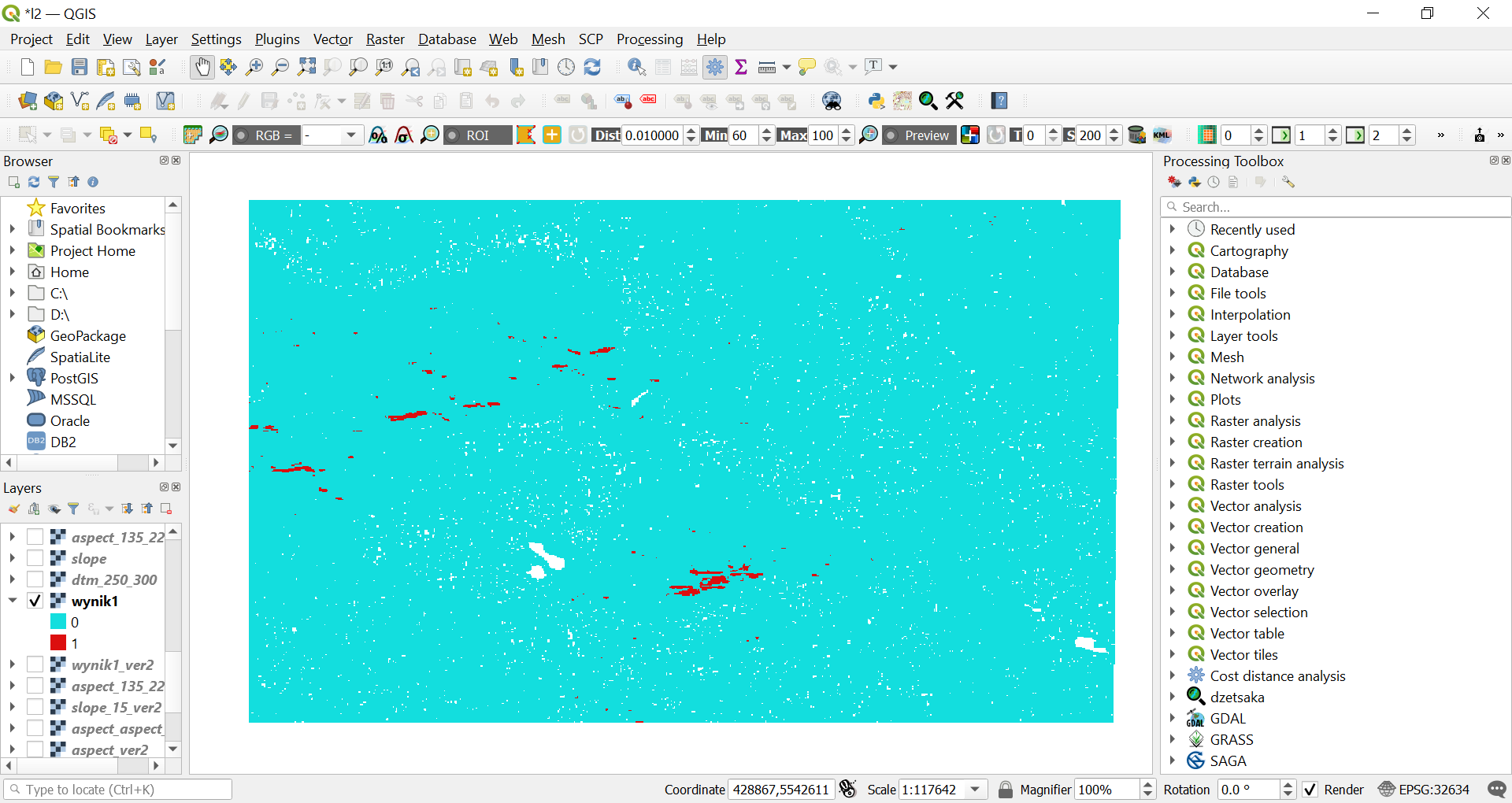
We are looking for the steep area with south exposure
conditions:
How we realize it?
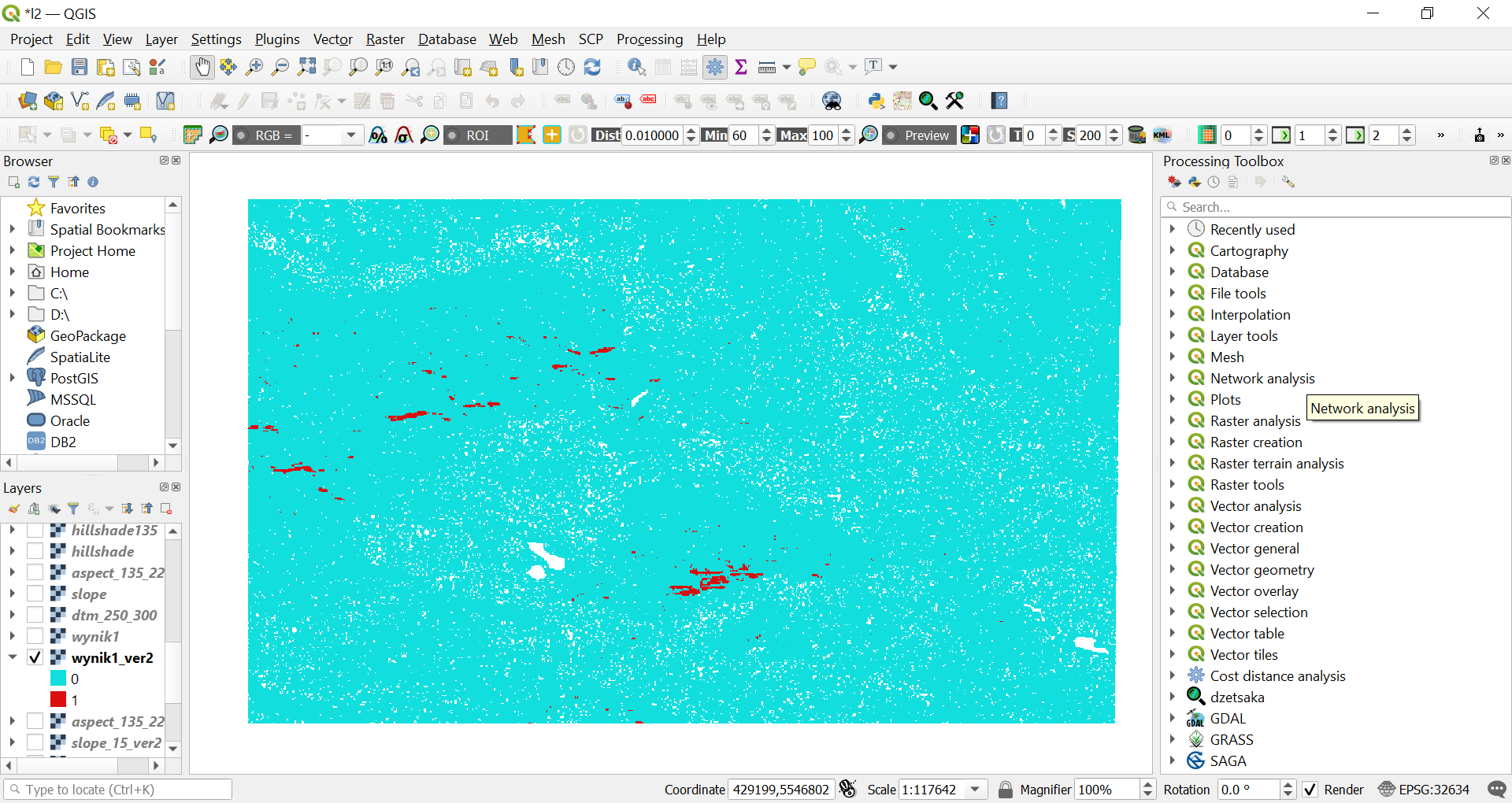
Common area, location that meets both conditions
multiplication of both raster layers (only 1 and 1 gives satisfactory result)
0=0*0
0=0*1
0=1*0
1=1*1
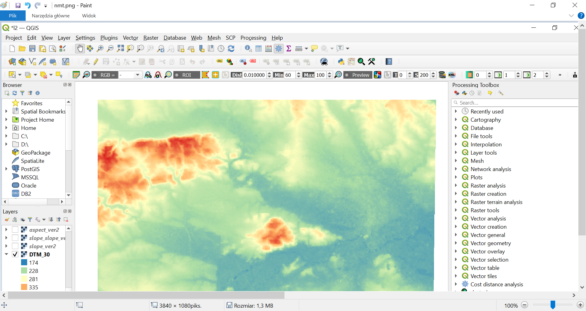
Digital Terrain Model
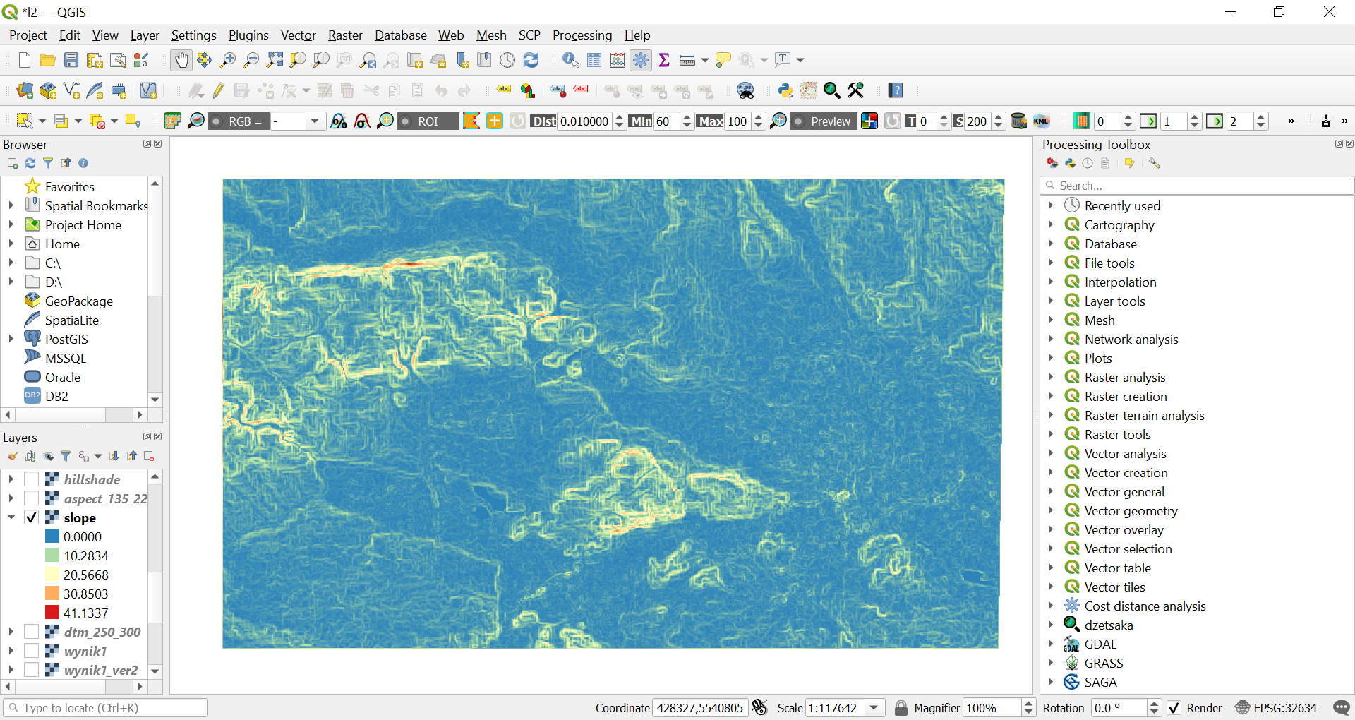
Slope
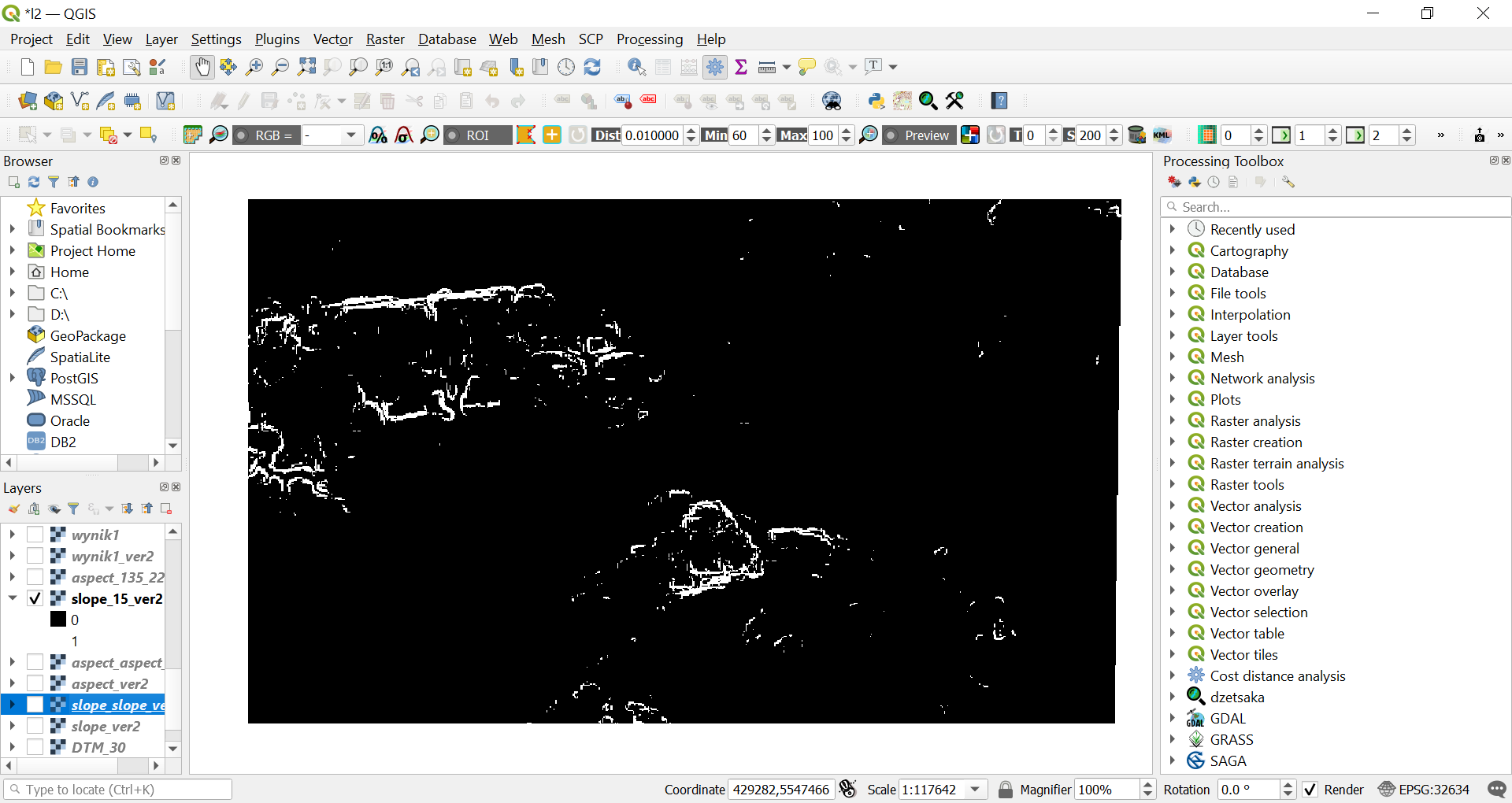
Steep slopes
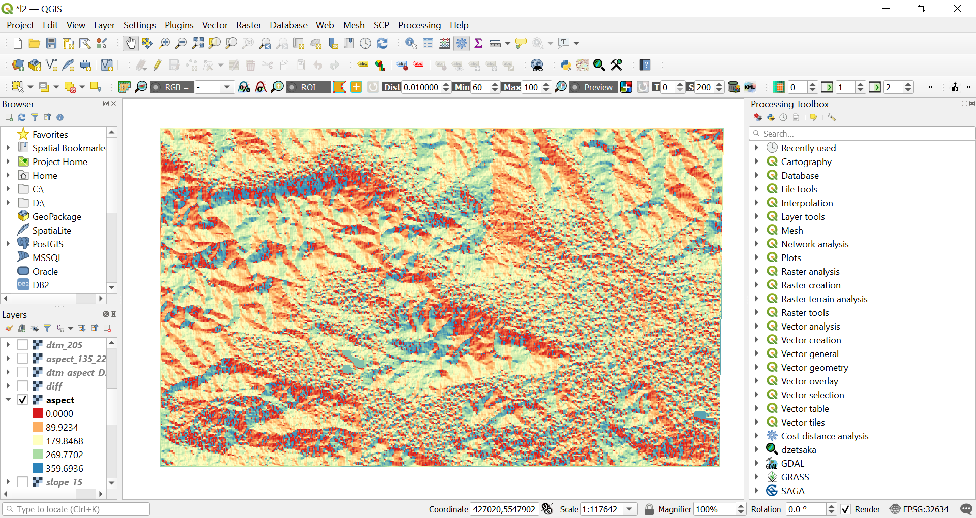
Aspect
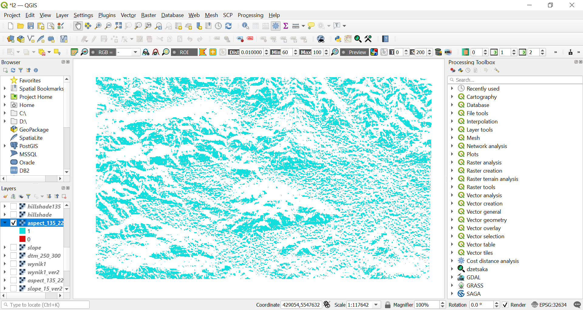
South facing slopes
Steep south facing slopes
Activated Zevenbergen&Thorne formula for smooth landscapes
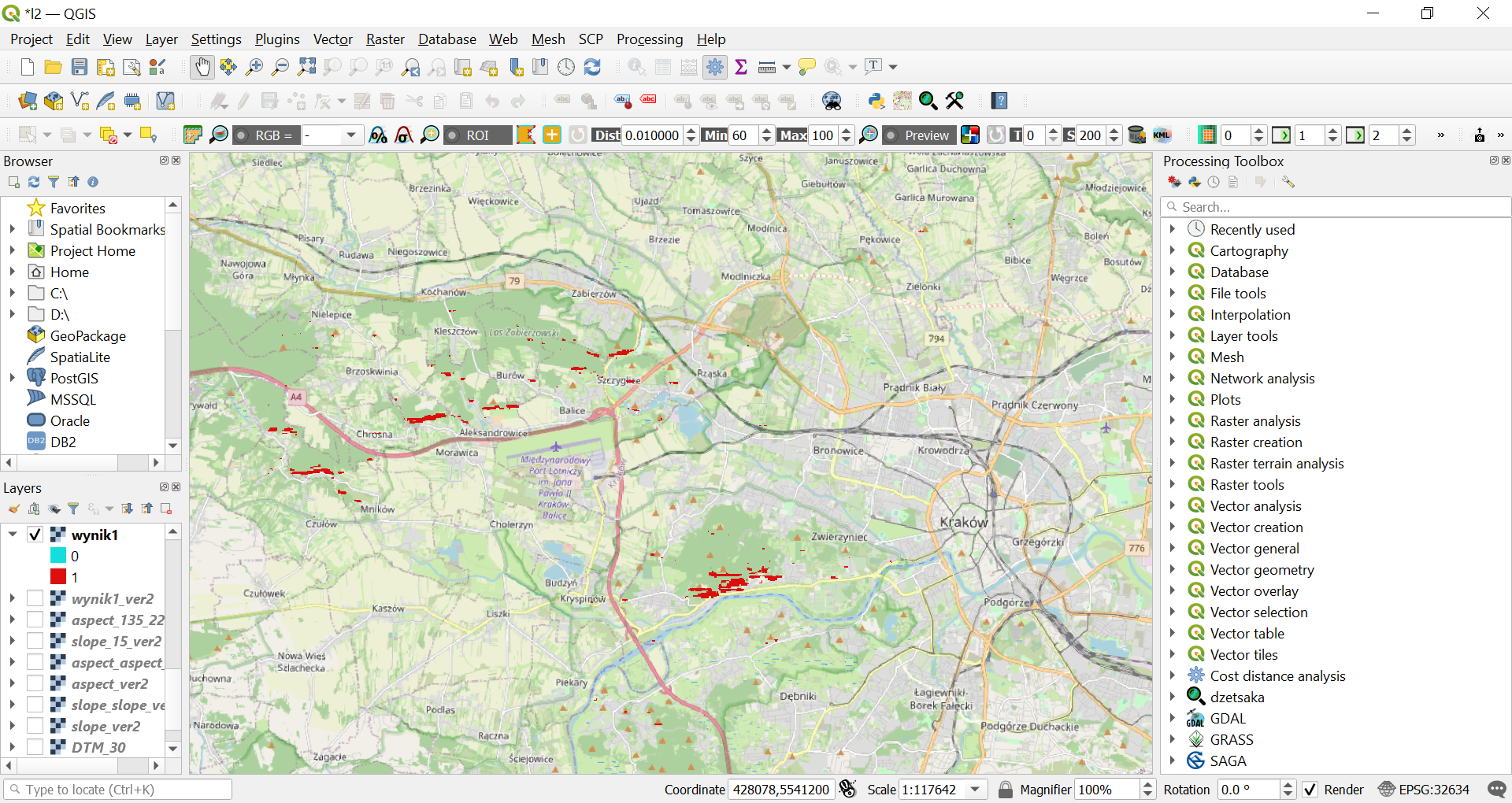
Steep south facing slopes on Open Street Map