created by ESRI
*.shp – shape format; the feature geometry itself
*.shx – shape index format; a positional index of the feature geometry to allow seeking forwards and backwards quickly
*.dbf – attribute format; columnar attributes for each shape, in dBase IV format
other extension:
*.sbn *.sbx – a spatial index of the features
*.atx – an attribute index for the .dbf dBase created by ArcCatalog
*.ixs *.mxs – a geocoding index for read-write datasets
*.prj – projection description, using a well-known text representation of coordinate reference systems
*.xml – geospatial metadata in XML format, such as ISO 19115 or other XML schema
QGIS extensions
*. qpj – projection for shp
*.qix – own spatial index
*.cpg – file coding
One tif file:
*.tif (header meta data, CS) - any number
*.gpkg geopackages - only byte
Two files, world file created by ESRI
*.tif - image *.tfw - metadata
32.0
0.0
0.0
-32.0
691200.0
4576000.0
Text file - the most popular ESRI ascii format
*.asc
ncols 2265
nrows 2344
xllcenter 564845.00
yllcenter 241993.00
cellsize 1.0
nodata_value -9999
Need to define coordinate system CS!!!!
FOSS4G is the acronym for Free and Open Source Software for Geospatial. It is the annual recurring global event hosted by OSGeo since it's inception in 2006. Its predecessors were rooted in the GRASS and MapServer communities and can be traced back to the beginning of this millennium. Find all recent conference web sites under the year followed by foss4g.org
OSGeo Open Source Geospatial
Shapefile, GeoPackage czy PostGIS in pl.
Download *.asc
Define CS i QGIS!!!!
EPSG: 2180, PUWG 1992
Task 1.
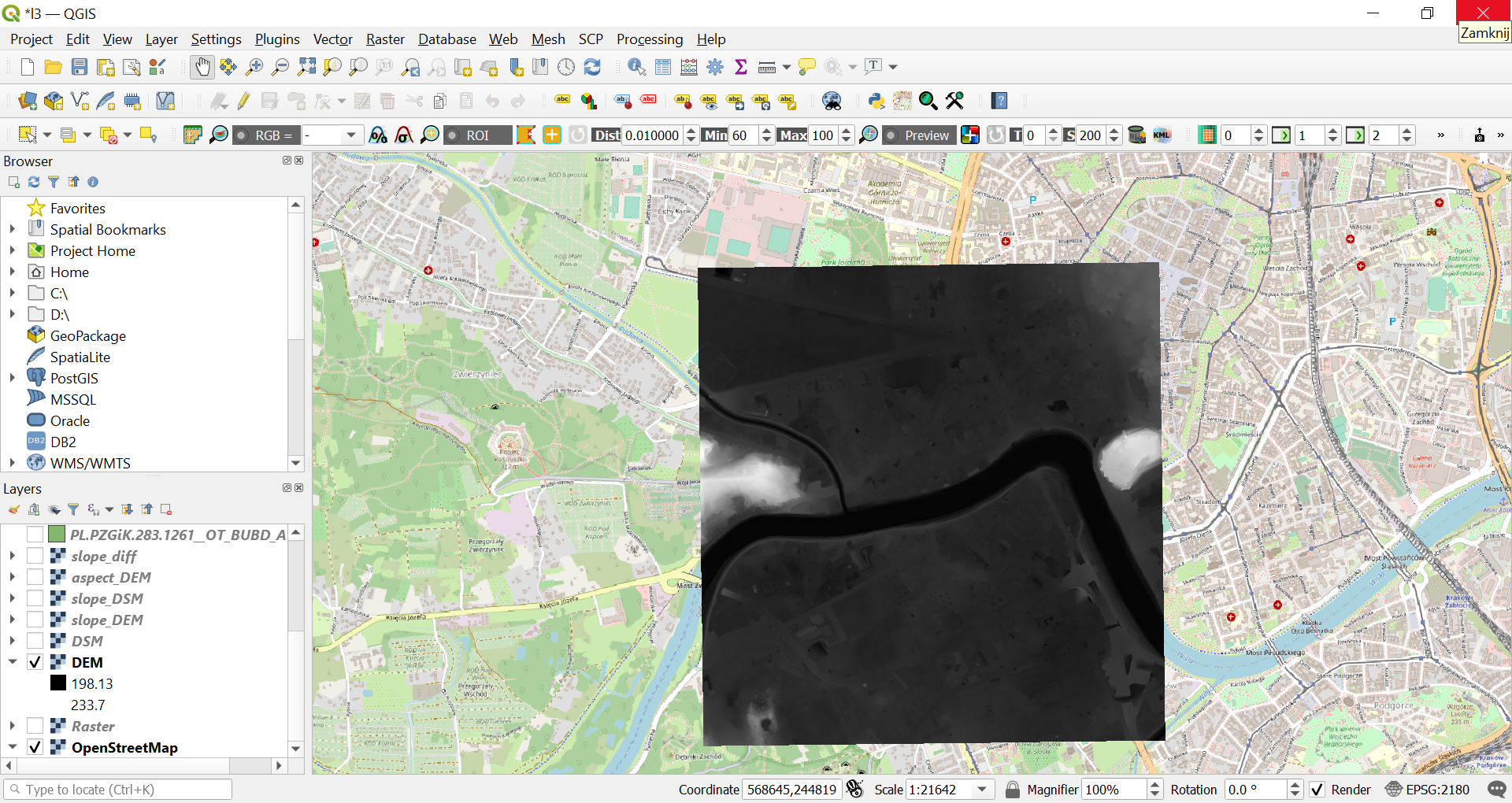
DEM
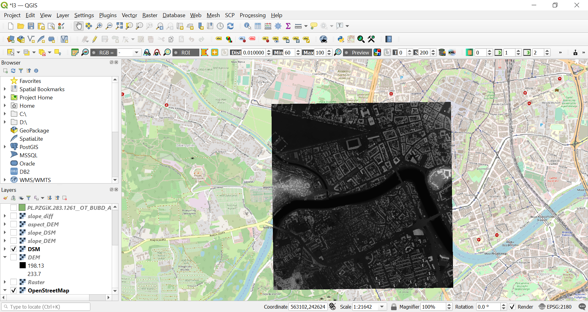
DSM
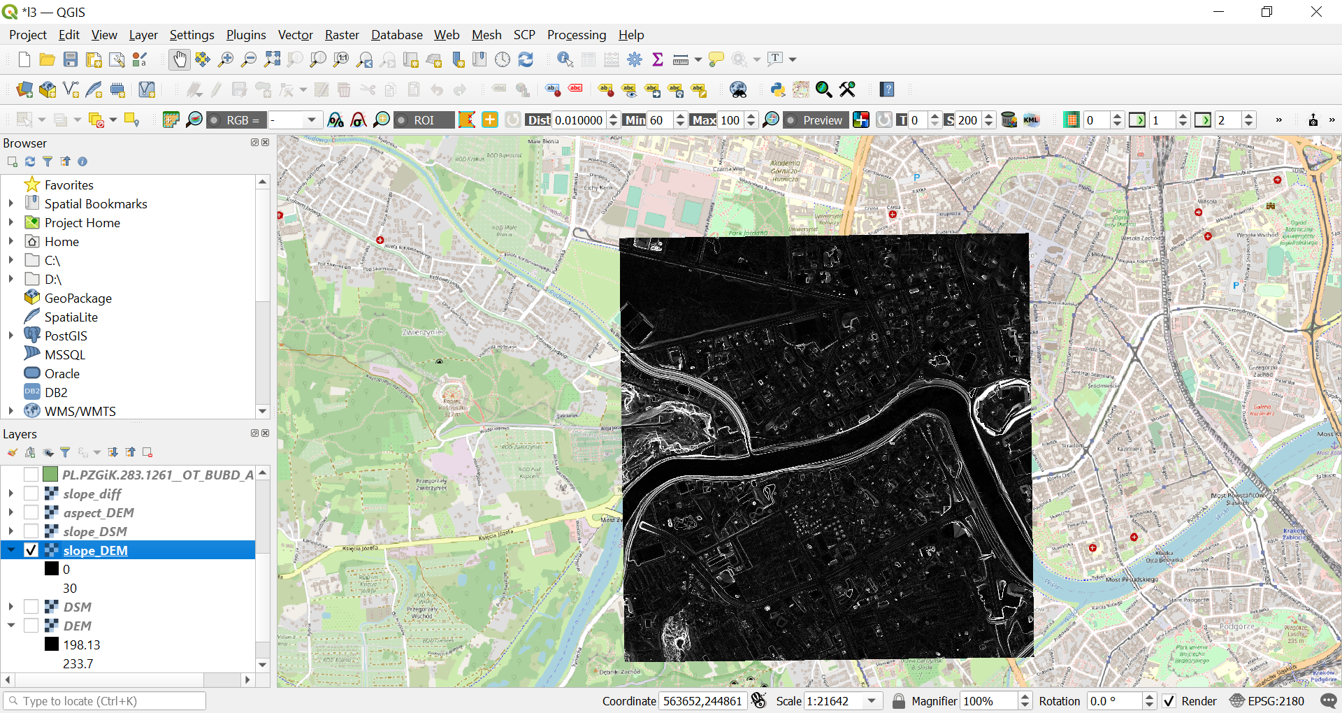
SLOPE
ASPECT
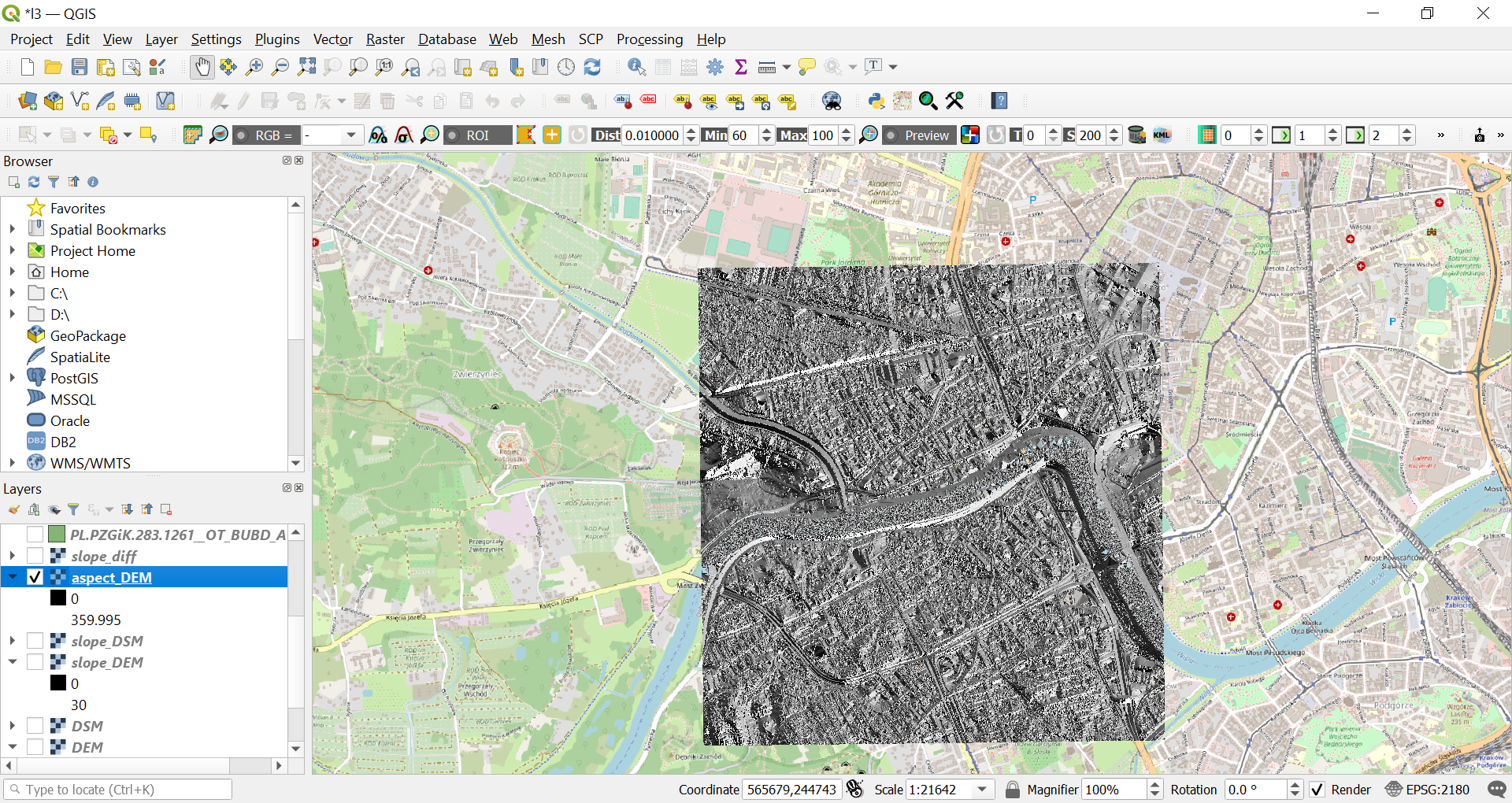
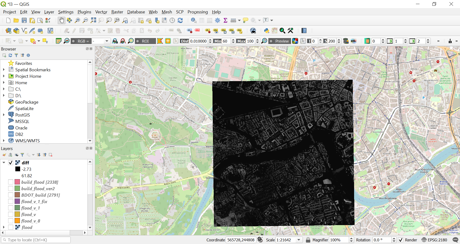
Diff=DSM-DEM
Buildings PL.PZGiK.283.1261OTBUBDA OTBUBDA
Task 2
"flood" area - use raster calculator
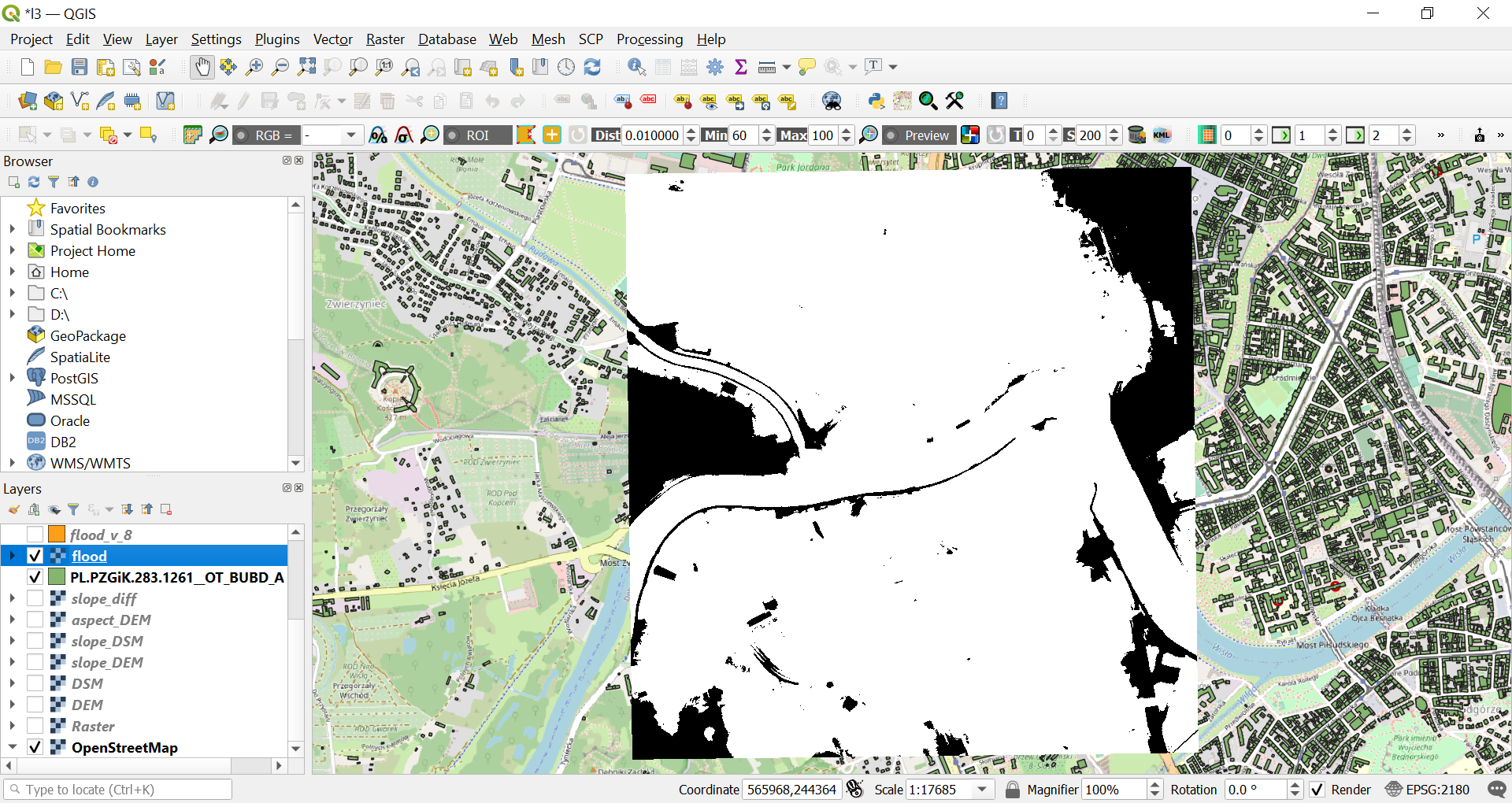
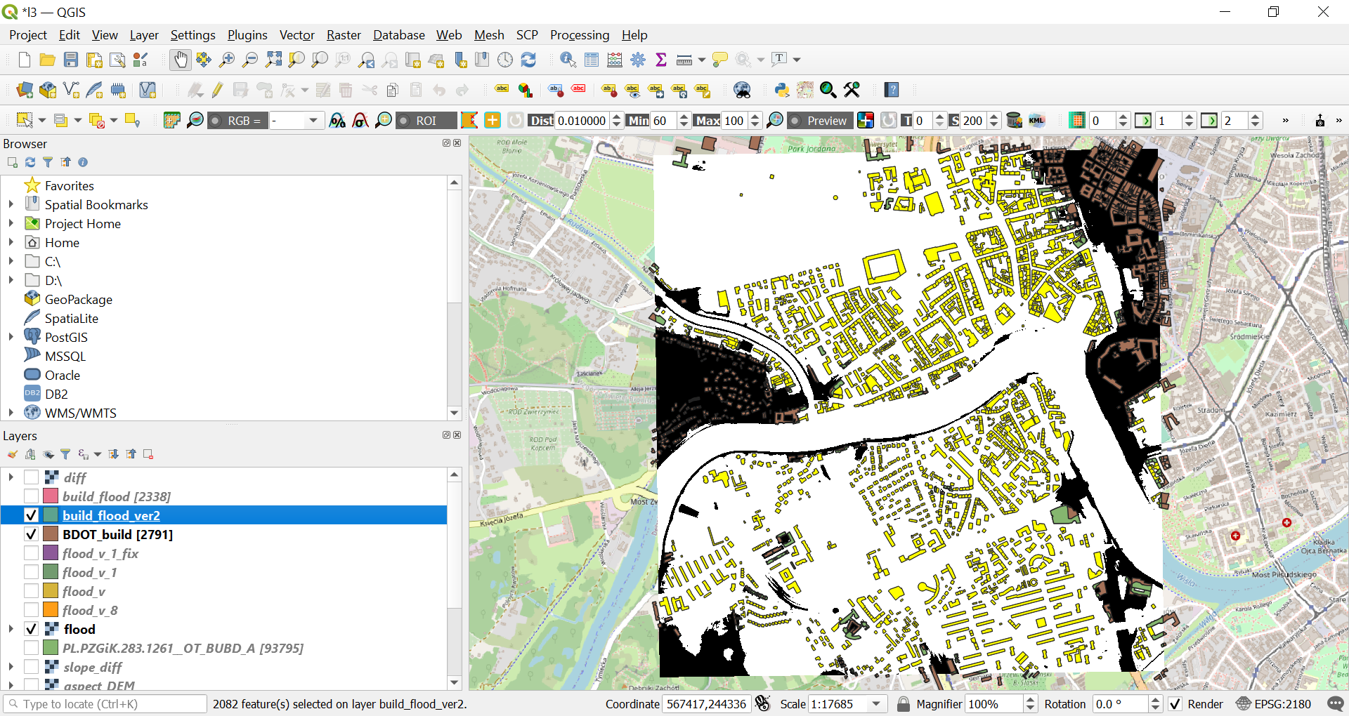
Buildings PL.PZGiK.283.1261OTBUBDA OTBUBDA (93795 objects, right mouse klik - show feature count) - clip this layer to DEM (export-save as.... we already dane it), after clipping - 2791 objects
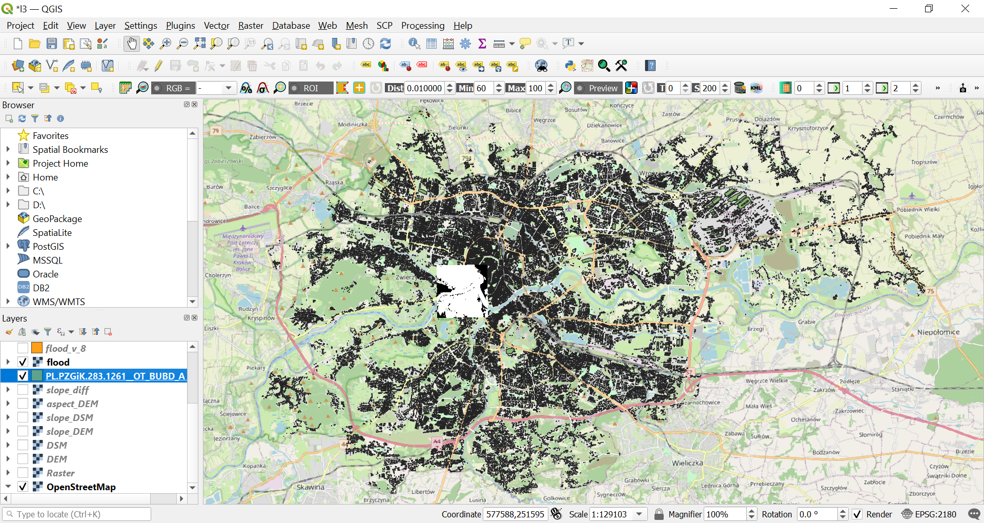
Ad. 2 Show me the buildings in "flood" area - you have to change the model raster to vector or vector to raster
Ad. 3 How many building are in risk zone and how big is the area of the building in risk zone - working with attribute table (build_flood) - we had problems during the class, try as follow:
calculate percentage of the flooded area of the buildings
Show me the buildings in "flood" area
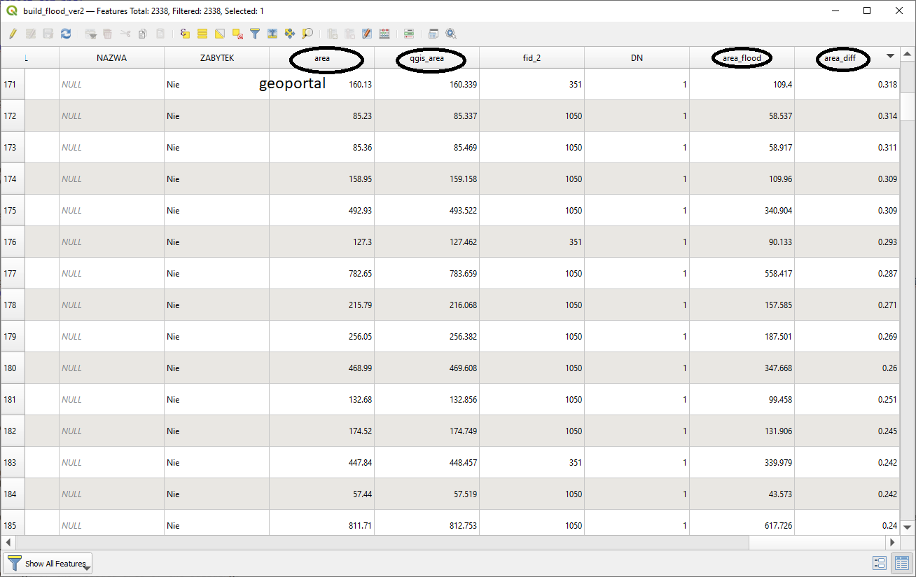
Answer - 2082 building are in 100% flooded