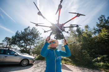
My research interests are related to the use of modern measurement technologies such as unmanned aerial vehicles, laser scanning, short-range photogrammetry, GNSS. I use these technologies for work related to geodetic monitoring of natural and industrial objects. The beginning of my scientific career was connected with permanent monitoring of areas subject to mining deformations. In the following years I worked in projects related to landslide monitoring, measurements of erosion of trails in mountainous areas, as well as keeping documentation of archaeological sites. Currently, my most developed research direction is the use of unmanned aerial vehicles in surface monitoring.
