Application of mobile laser scanner to augment stationary collected point clouds
Authors: Karolina PARGIEŁA, Aleksandra JASIŃSKA, Anna MALCZEWSKA, Kornelia GRZELKA, Joanna KOSZYK, Łukasz AMBROZIŃSKI
Abstract:
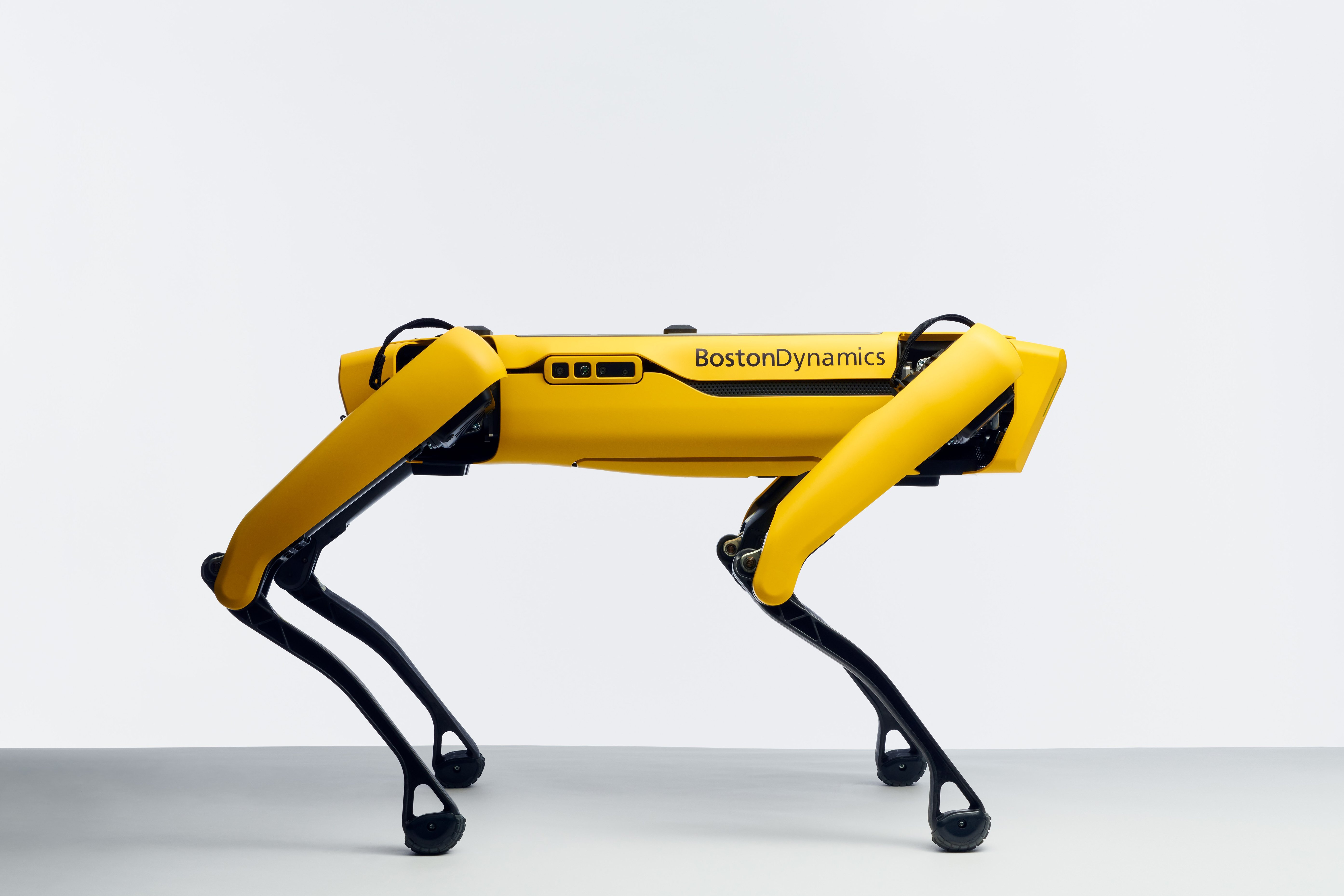
Acquiring precise and comprehensive representations of architectural structures or industrial installations is crucial for a variety of monitoring and cadastral applications. A number of tools have been developed for this purpose, but they often face the problem with balancing accuracy and acquisition time. Terrestrial laser scanners typically provide the highest precision in point clouds, as they perform scanning while motionlessly mounted on rigid tripods. Careful pre-planning is needed for scanner locations on the object under investigation. Limited number of scanning locations often compromises point clouds at inaccessible locations, especially in complex environments. In this paper, we propose a solution to this issue by employing an autonomous quadrupedal robot-based laser scanner to augment the point clouds obtained with high-precision stationary scanners. We demonstrate this approach in an auditorium consisting of stairs, multi-row seats and additional complex-shaped acoustic diffusors.