Analysis of land surface movements
with the use of InSAR monitoring
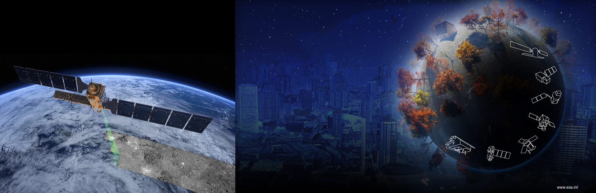
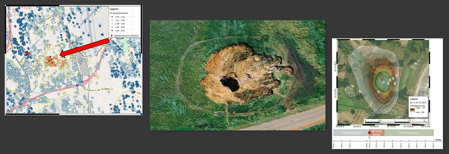
InSAR stands for Interferometric Synthetic Aperture Radar. Satellites acquire images of the Earth's surface.
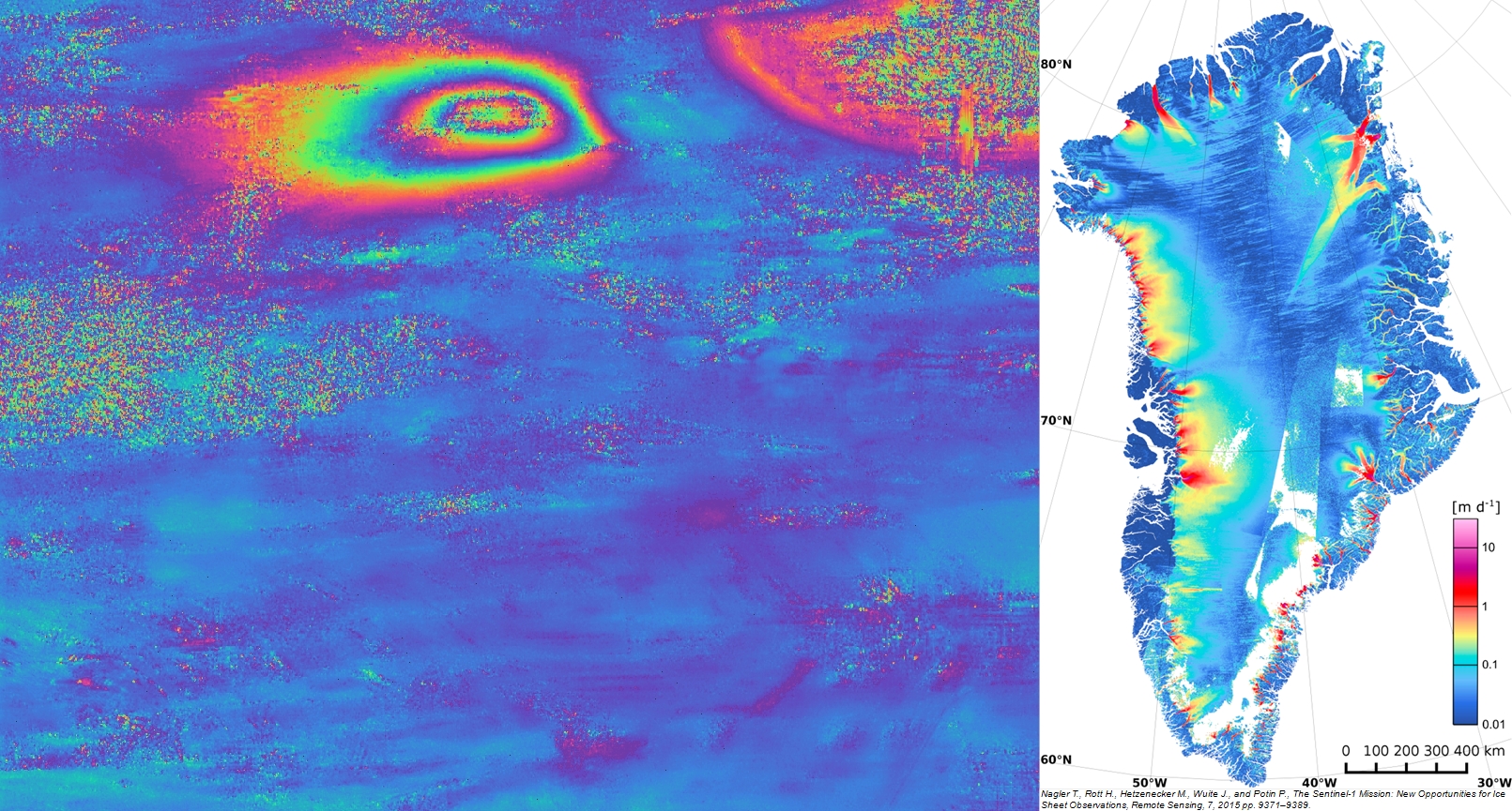
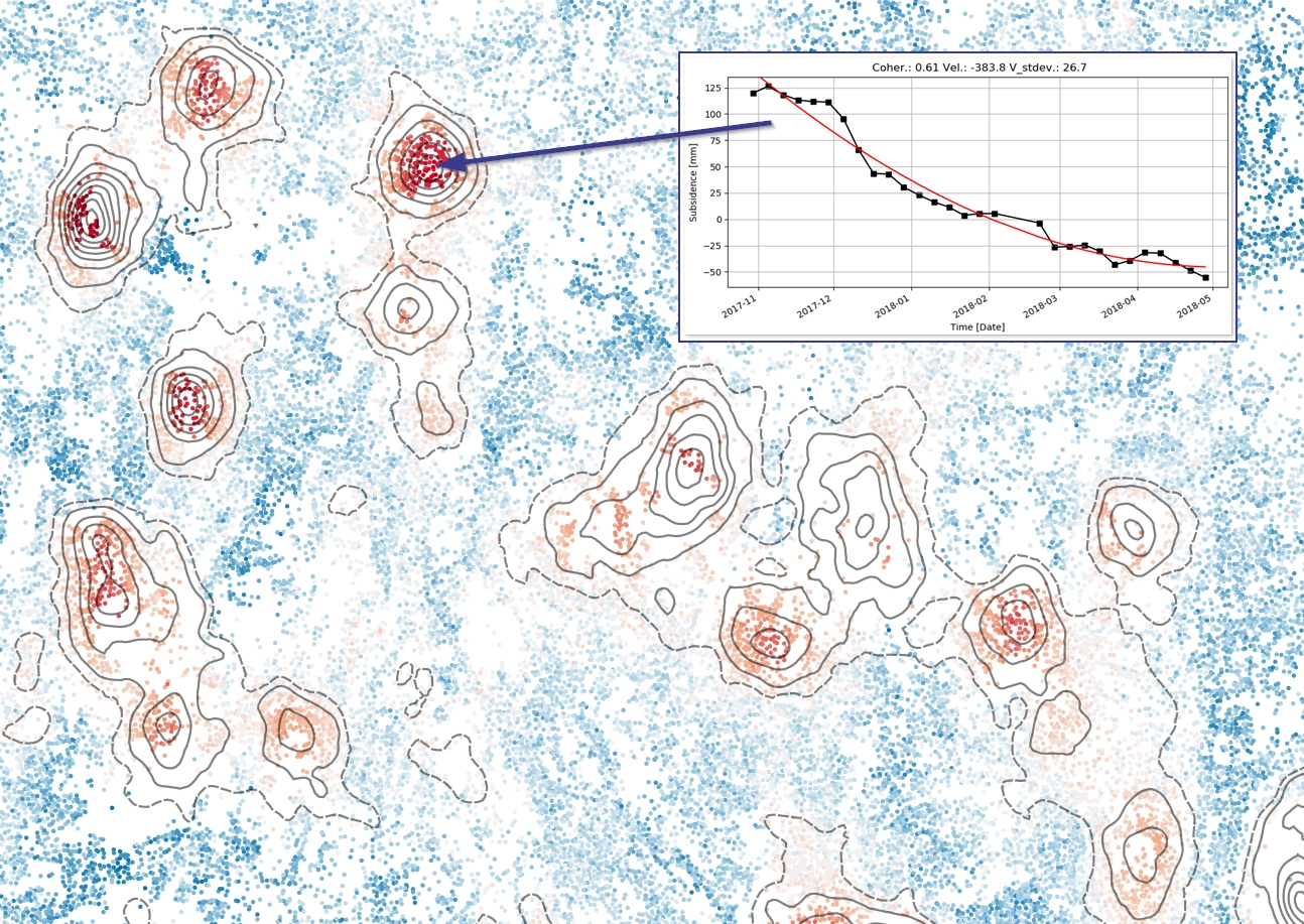
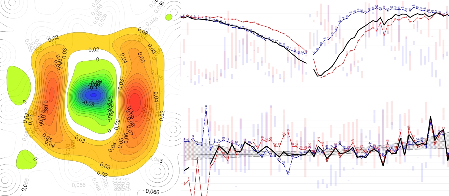
Post-processing of these images allows for the analysis of the movements of land surface as well as various man-made objects related to surface infrastructure.
Interferometric monitoring is a proven technique of mapping movements using radar images from satellites orbiting the Earth.
(e.g.
>>Sentinel-1<< , TerraSAR-X, Radarsat-2, ALOS-2).
Course >>Basics of Satellite Radar Interferometry - InSAR<< is aimed at practical presentation of InSAR technology and familiarization of its participants with the latest trends in this subject. As part of the course, the project will be selected individually to the preferences of the course participants.